OpenStreetMap ecosystem
OpenStreetMap is a large decentralised project. There are thousands of people who participate for various reasons.
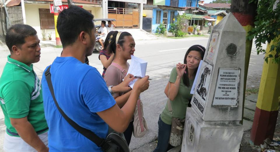
Mappers, people mapping the world are the most important group. They collect various information and enter it into the OpenStreetMap database - for example location of playgrounds, shapes of forests, routes of hiking trails, street names and many more.
But to make it possible it is necessary to maintain various software and hardware. It includes creating and improving editor programs used by mappers, maintaining OpenStreetMap servers and website.
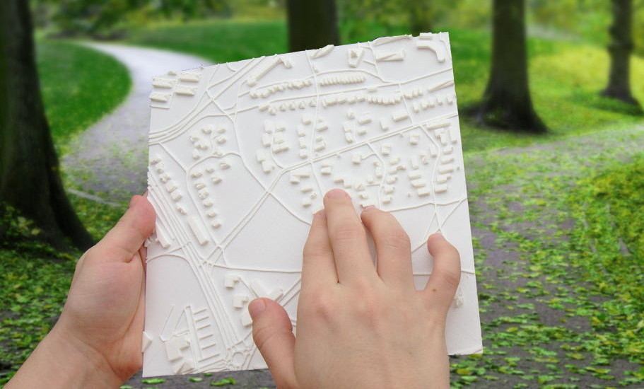
Collected data is used by many people for various purposes in their projects - displaying maps on websites, using it as one of the sources in flood preparation plans, making private offline maps for various devices - GPS units, smartphones etc. There are also many, many other uses - for example, I am making a 3D map for the blind using OSM data.
And there is the largest group - people that benefit directly or indirectly from projects powered by OpenStreetMap data - they may be using maps more accurate and cheaper than alternatives, they may be rescued by firefighters using OpenStreetMap data to get to the site of an accident or watch a movie with a cool map in a background made using OSM data.
But reality is always more complicated than expected, and decision how to map some features can be complicated. There are people inventing, discussing and documenting ways how the world can be described and mapped.
There are also many projects that are helping mappers, developers and data consumers. One of the most prominent ones is taginfo that provides very useful statistics about tags used in OpenStreetMap. There are also QA tools detecting common problems in data like Osmose and tools making access to OSM data easier ( Overpass Turbo is a great example).
Groups mentioned so far may be split into subgroups in various ways. Mappers may be split by what, how, why and where they map.
People creating software may be additionally split by their role - they may be programmers, translators, reporters of bugs, graphic designers.
There are also many other roles not mentioned in this brief overview - people who fund hardware for OpenStreetMap servers or development of various helpful software, people promoting OpenStreetMap, vandals attempting to damage data, people countering vandals and reverting their damage.
Mentioned groups are fluid. One person may be a mapper of local hiking routes, participate in discussion how colour assigned to hiking routes should be mapped, encourage friends to use detailed maps made using OpenStreetMap data and from time to time donate to fund for maintaining hardware running core OSM services and other necessary expenses.

3D printed map for the blind made using OpenStreetMap data.
